Mobility and navigation, climate change and environmental challenges, spatial planning and high precision measuring - these fascinating topics are at the core of Geodesy and Geoinformatics - an interdisciplinary cutting-edge science and technology subject. It covers a wide range of interesting topics related to surveying and mapping the Earth's surface at all scales.
Our English Master’s degree programme
You have completed a first degree in surveying, geodesy, geoinformatics or related fields? You are interested in an exciting Master degree programme in Geodesy and Geoinformatics? You aspire to study at one of Germany's leading technical universities (TU9)? Then step in!
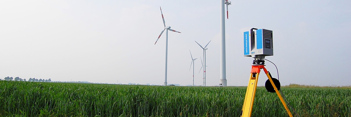
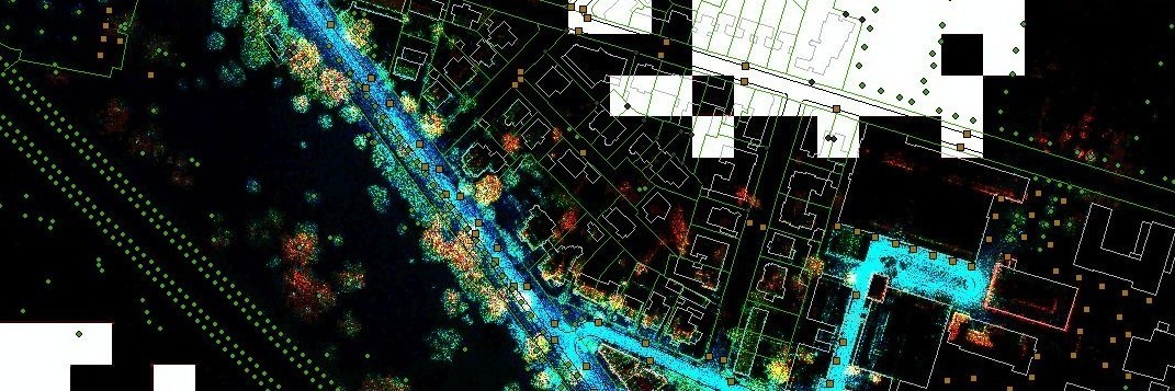
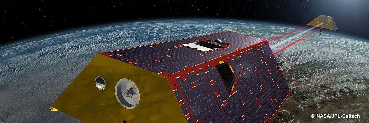
In today's digital world, Geodesy and Geoinformatics is an interdisciplinary cutting-edge science and technology subject. As a future expert in Geodesy and Geoinformatics you will analyse spatial information such as imagery, laser data, GPS signals and Earth gravity measurements, which are acquired using static and mobile mapping platforms, flying drones and satellites each equipped with various sensors.
Studying the English Master programme Geodesy and Geoinformatics at Leibniz Universität Hannover means obtaining the ability to master challenges in areas as diverse as
- industrial quality control
- 3D city modelling
- autonomous navigation
- environmental monitoring
- sea level rise
- and sustainable development
Diverse topics like Engineering Geodesy, Photogrammetry, Geographic Information Systems, Physical Geodesy and Land Use Politics are taught at the highest scientific quality.
Our degree programme offers high-quality courses in English. It is taught in small groups, where international and local students attend the same lectures, making it easy for students from abroad to mingle with German speaking friends and colleagues. Our graduates enjoy excellent career opportunities in industry, in public service and in research and development worldwide.
The accredited degree programme at Leibniz Universität Hannover, a world-leading centre of higher education in Geodesy, takes 2 years. Students do not pay any tuition fees. Enjoy our internationally acknowledged teaching of this future-oriented topic - made in Germany!
What is Geodesy and Geoinformatics?
Career
With a Master degree in Geodesy and Geoinformatics you have excellent career opportunities in a very wide field of exciting and well-paid jobs all over the world. Thanks to the broad and diverse skills you acquire in the courses you will be able to master challenges in private industry, in research and development as well as in public service. Graduates of the programme
- design high precision 3D measurement and evaluation systems
- develop navigation and software systems
- run their own business as a Chartered Surveyor
- create and sell geoinformation services
- implement manufacturing and quality control
- guide construction work and the extraction of raw materials
- help the automotive industry to build safer and smarter cars
- carry out research in aerospace technology, geophysics and related fields
Another promising option is to obtain further scientific qualification by enrolling in the PhD programme of the participating university institutes or other research centers.
Contact our programme coordinators
30167 Hannover
Tue. 10:30 - 11:30 in the lecture period
Thu. 09:30 - 10:30 in the lecture period
Fri. Please arrange an appointment
30167 Hannover
Wed. 10:30 - 11:30 in the lecture period


